Topographic Models
Topographic Model Maker
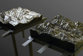
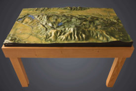
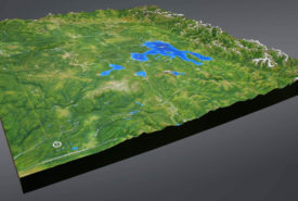
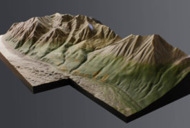
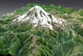
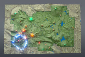
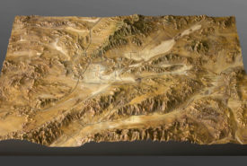
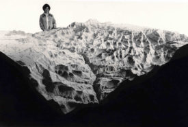
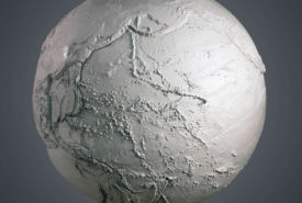
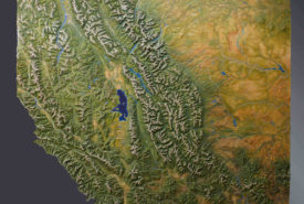
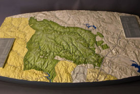
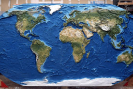
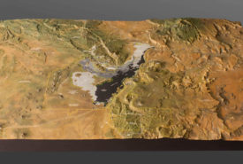
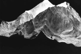
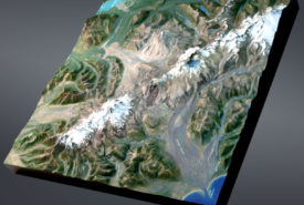
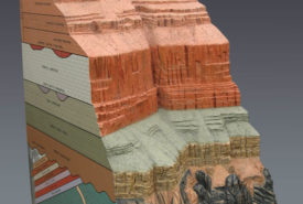
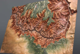
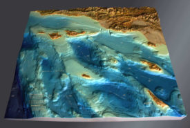
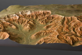
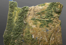
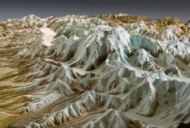
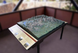
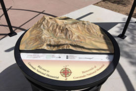
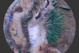
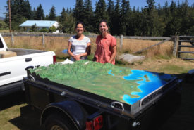
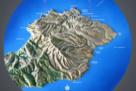
Topographic models, also known as terrain models or raised relief maps, are an excellent way to visualize the topography and details of a landscape or park. Perfect for indoor or outdoor displays in museums and visitor centers, professional terrain models often include trails, roads, boundaries, points of interest, labels, and icons. Various areas or elements can be highlighted using fiber optics or LEDs.
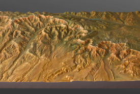
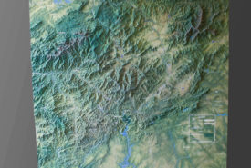
Our topographic models are machined using a CNC router using 3D digital information, making them detailed and accurate. The size and scope of raised relief maps can range from national park terrain to county or state topography. Terrain models are the ideal way for visitors to plan their routes and activities, see special features of the landscape, and understand the overall topography.