Cape Disappointment
December 23, 2019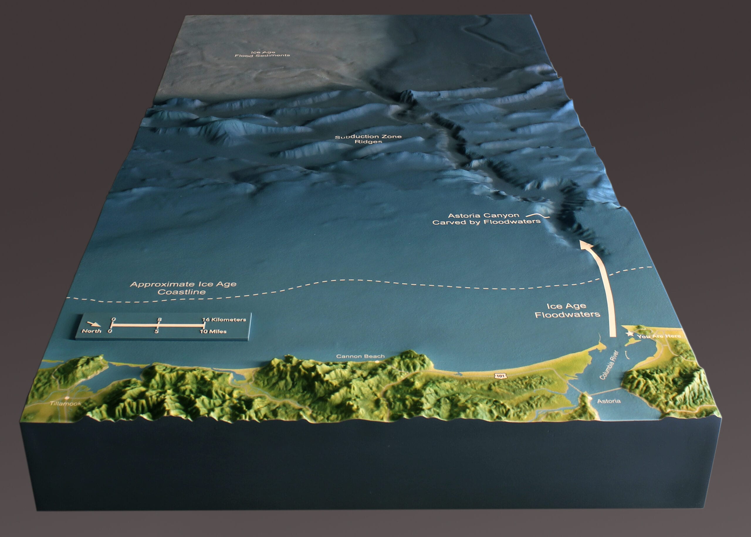
Named for a frustrated attempt to find the mouth of the Columbia River, Cape Disappointment lies, oddly enough, at the mouth of the Columbia River. This area was formed by unimaginably massive glacial floods, hundreds of feet deep, that swept over the entire Columbia Valley and most of Washington State about 16,000 years ago.
This site was reached by the Lewis and Clark Expedition in 1805. By all accounts it has been a popular camping area ever since. Washington State Parks wanted to have a model of the area for their Lewis and Clark Interpretive Center at the cape. It was important to the parks department that visitors understood the layers of different histories that occurred here.
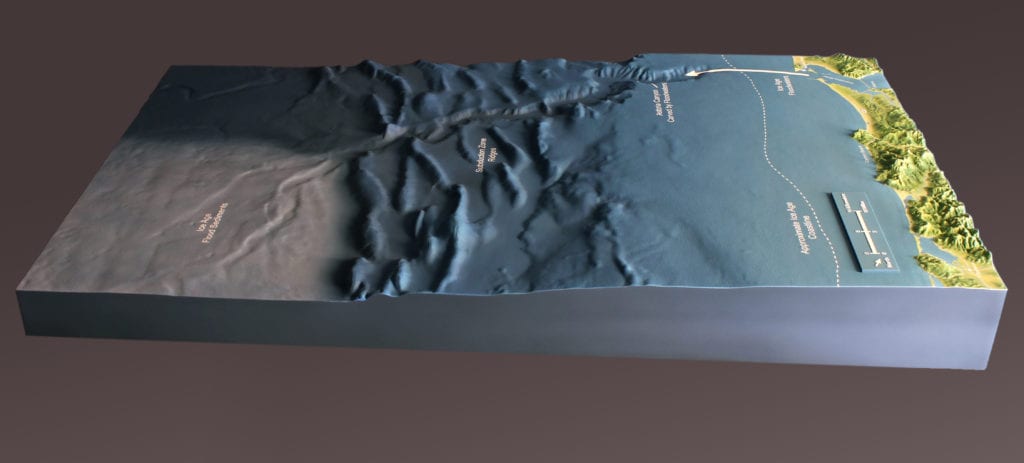
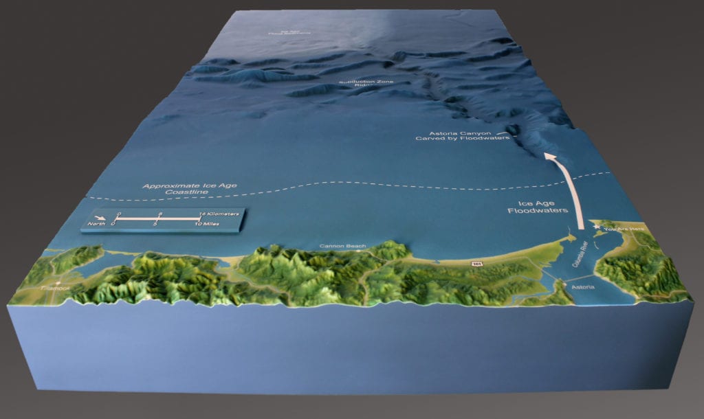
They contacted CREO Industrial Arts, who in turn asked Rauda Scale Models to create a topographic scale model that depicted the effects of the those floods that carved out the landscape, both above and below the ocean.
The model shows the Ice Age shoreline and the deep Astoria Canyon created by the floods, where the canyon intersects the seismic subduction zone that Washington State sits on, and the glacial sediment areas farther out to sea.
At Rauda Scale Models we especially love creating topographic scale models and museum models for the state and national park services. We remember the models we saw when we were kids on family trips, and love knowing we are creating those kinds of memories for younger families.