Lawrence Berkeley National Laboratory
December 3, 2021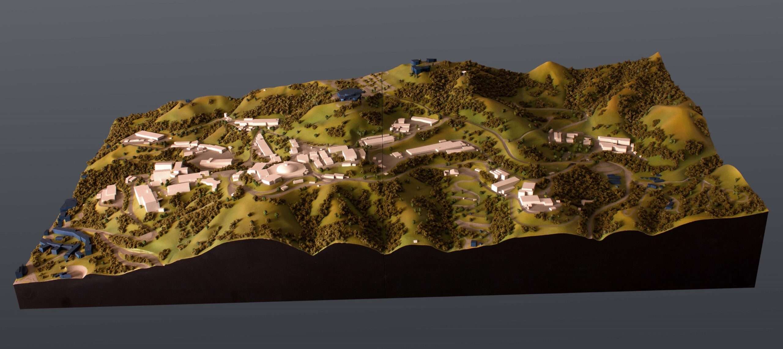
The Lawrence Berkeley National Laboratory hired us to build a topographic model of part of their campus. Usually, a 3d model is used to clarify the design of a new building or device. However, for this model, its main purpose is for emergency preparedness.
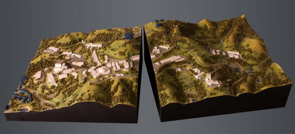
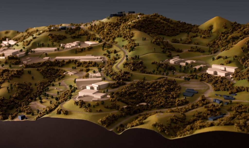
The Lawrence Berkeley National Laboratory occupies 76 buildings spread over and around Grizzly Peak, which is east of Berkeley. Roads snake narrowly through canyons to connect the various labs and are frequently clogged with traffic. Because of this, they wanted to conduct studies and create a topographic scale model of the Lawrence Berkeley Labs to aid in the deployment of emergency services and evacuation planning for lab workers.
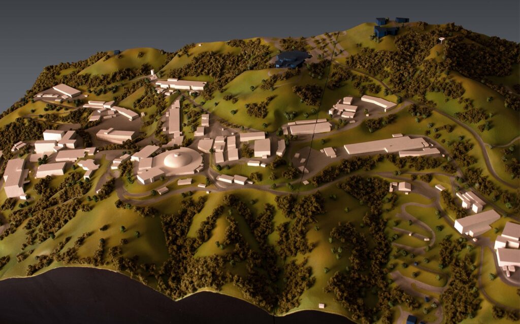
Rauda Scale Models was proud to help out the laboratory that discovered fourteen elements and is home to the world’s most powerful microscope. The terrain scale model of the campus is made of high-density foam and details the lab buildings and surrounding foliage. The access routes are clearly delineated for quick reference and understanding.
3d scale models have the ability to convey complex spatial relationships. A slideshow or a map on the wall just can’t deliver that kind of clarity. And as demonstrated by this terrain model, scale models are essential tools and have a wide range of uses.
